
“The Corner of Minnesota That’s There by Mistake”
Article by: Porter Fox, author of Northland: A 4,000-mile Journey Along America’s Forgotten Border
The horizon was a shifting channel of light. Cornfields grew between stands of cottonwood trees, and harvesters cruised down the double-yellow line spewing golden dust. Signs advertised gifts from Minnesota’s northland: moccasins, wild rice, dreamcatchers, canoes. The radio station I’d been listening to had played an entire Bruce Springsteen live concert: Rutherford, New Jersey, 1984.
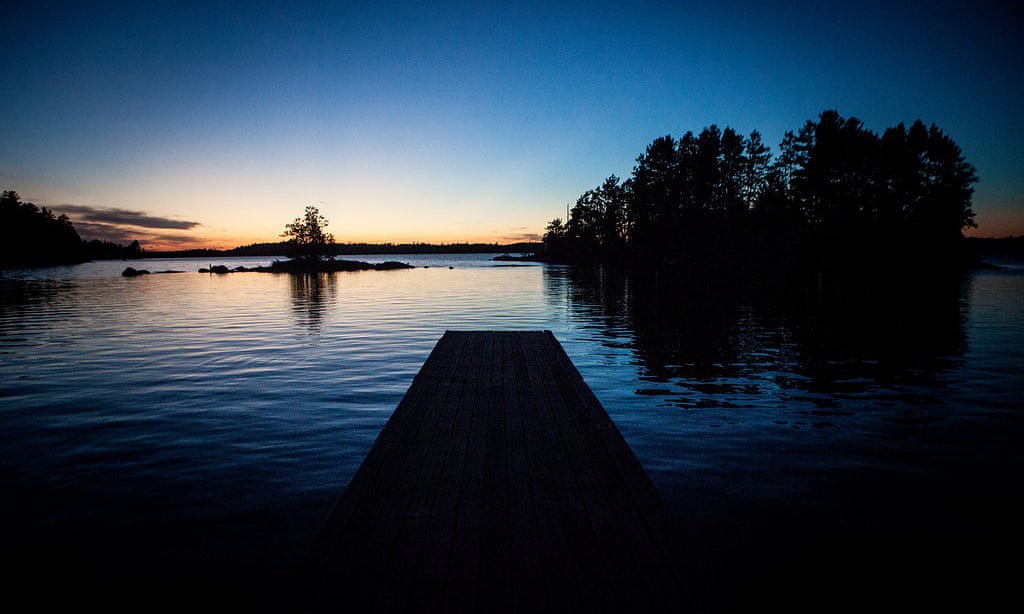
I was heading to the Northwest Angle – the northernmost point of the continental US – to research a book about the country’s northern border. The Angle is a blip on the boundary – an isolated pocket in Minnesota set 100 miles north of the line of the main border. It is the northland of the northland – surrounded by Lake of the Woods on three sides and Canada on the other. To get there by road, you have to drive through Manitoba.
It wasn’t supposed to be that way. The Angle was a mistake, made at the time of the Treaty of Paris, the accord that ended the American Revolution in 1783. The map that the delegates used, made by a London physician-botanist and amateur mapmaker named John Mitchell, marked the source of the Mississippi, a key landmark on the proposed northern boundary, as 150 miles north of where it actually is.
Negotiations continued nonetheless, and the line was drawn. When the Treaty of Paris was signed on 3 September 1783, US sovereignty was acknowledged by Britain; all British influence was abolished; British protection of American interests around the world was lifted; confiscated Loyalist property was to be reinstated; and the US’s northern border was set from the north-west corner of Lake of the Woods to … nowhere.
Five miles north of Warroad, Minnesota, I pulled up to the Canadian border. A stern, blue-eyed agent asked where I was going, if I’d been there before and how I’d heard about it. I said I was going to Angle Inlet, and he handed me a piece of paper that read, “Phone Reporting from the Northwest Angle”. A map at the top of the page showed the Angle’s north–south boundary. Three bubble quotes with telephone icons on them read Carlson’s, Jim’s Corner, and Young’s Bay.
I was to report in from Jim’s Corner, he told me.
I followed Route 12 – known as Mom’s Way – through Manitoba to an abandoned gas station where the agent had said to take a right. I did and fishtailed onto a dirt road. Thirty minutes later, the road crossed back into US territory, and I spotted four older men huddled next to a phone booth at an intersection.
“Is this Jim’s Corner?” I asked.
The men looked at me, then at each other. “We’re wondering the same thing,” one said.
The group watched as I picked up the phone and pushed a button with an American-flag sticker on it. After a couple of rings a voice answered, “US Customs and Border Patrol.” The agent ticked off a list of ambiguous and prying questions. “What are you doing? Where are you going? Why are you going there? What kind of fish are you fishing for? Have you ever caught one of those before? How do you cook it? What does it taste like?” Satisfied, the agent said I was checked in, and I left the old men, still huddled by the booth.
CLICK HERE TO READ THE FULL ARTICLE
All photographs: Sara Fox/Rutherford Studios